The CCI Specialty Atlas
Where is clinical specialty capacity located? How does its geographic distribution differ across disciplines? And what can—and can't—provider counts tell us about actual access to specialist judgment?
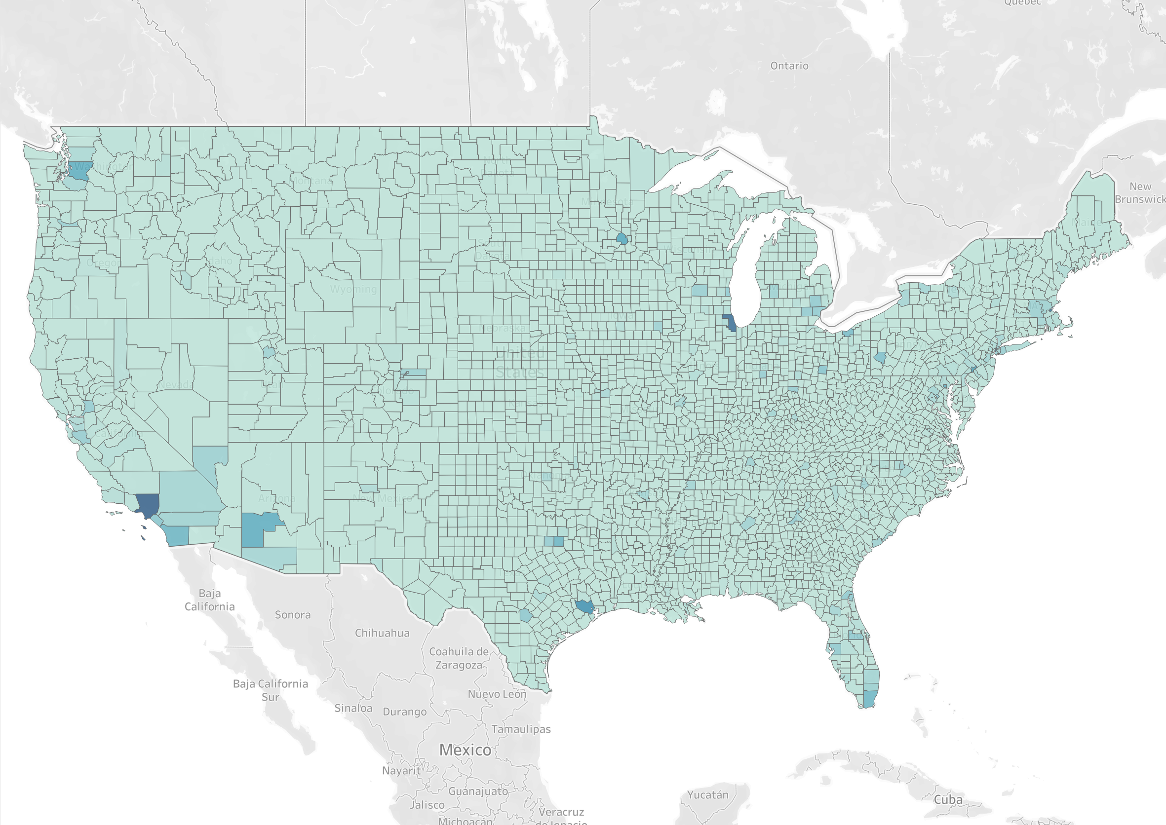
The Clinical Capacity Institute is developing an interactive national Specialty Atlas to explore these questions at the county level.
Our current working dataset includes 60 clinical classification layers across 3,144 U.S. counties, spanning physician specialties and pharmacist classifications.
Beginning in 2027, we plan to introduce two specialty layers each week over approximately 30 weeks, building a progressively broader picture of the nation's clinical workforce.
What to expect
- Interactive county-level maps
- Comparisons across specialties and clinical disciplines
- Explanations of classification and measurement limitations
- Continuing improvements and corrections as the Atlas develops
The Atlas is a starting point for investigating clinical capacity—not a definitive measure of it.
Interactive Atlas launching in 2027.